


Introduction
Infrastructure projects today demand speed, precision, and reliable data. Traditional surveying methods, while effective, can be time-consuming and sometimes limited in the amount of data they capture. Modern technologies are transforming this process, and 3d mobile mapping for Faster and More Accurate Infrastructure Surveys is becoming one of the most valuable tools for engineers, planners, and surveyors. By combining advanced sensors, cameras, and positioning systems, mobile mapping allows professionals to collect highly detailed spatial data while moving through the survey area.
What is 3D Mobile Mapping?
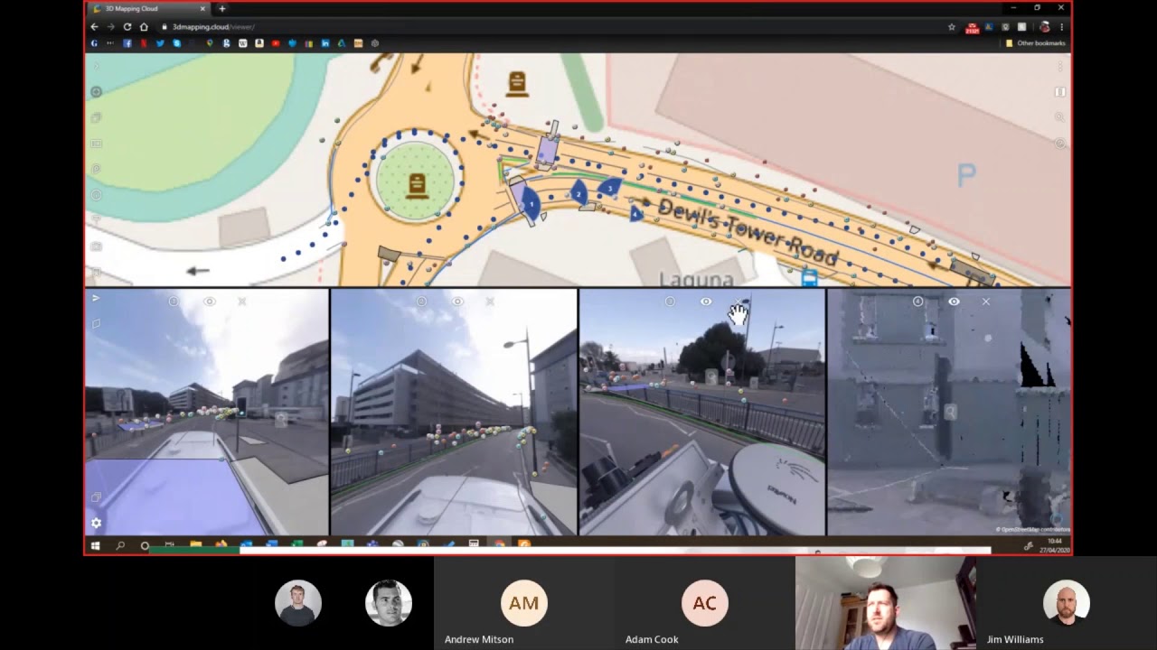
3D mobile mapping is a technology that uses vehicles, drones, or handheld systems equipped with LiDAR scanners, cameras, and GNSS receivers to capture geospatial information in three dimensions. As the system moves through a site, it records millions of data points that create an accurate digital representation of the environment.
This approach significantly improves the efficiency of fieldwork. With 3D Mobile Mapping for Faster and More Accurate Infrastructure Surveys, survey teams can capture large areas such as highways, railways, bridges, and urban corridors in a fraction of the time required by traditional methods.
Key Technologies Behind 3D Mobile Mapping
Several technologies work together to make mobile mapping effective:
LiDAR Scanning
LiDAR sensors emit laser pulses to measure distances between the scanner and surrounding objects. This produces dense point clouds that represent surfaces, structures, and terrain with exceptional detail.
GNSS and Positioning Systems
Global Navigation Satellite Systems (GNSS) provide precise location data for every point collected. This ensures that all measurements are accurately referenced in geographic coordinates.
High-Resolution Imaging
Cameras mounted on mapping systems capture visual imagery that complements the LiDAR data. These images help in feature identification, asset management, and visual inspection.
Together, these technologies make 3D Mobile Mapping for Faster and More Accurate Infrastructure Surveys a powerful solution for collecting comprehensive spatial data quickly.
Benefits for Infrastructure Projects
The adoption of mobile mapping technology offers several important advantages:
Faster Data Collection
Survey vehicles can collect data while driving along roads or railway tracks, dramatically reducing the time required to survey large areas.
Increased Accuracy
Advanced sensors and positioning systems provide highly precise measurements, which are critical for infrastructure planning and maintenance.
Improved Safety
Surveyors can collect data without standing in busy roadways or hazardous construction zones.
Richer Data Sets
Mobile mapping systems capture millions of points and images, enabling detailed analysis and digital modeling of infrastructure assets.
Because of these benefits, many organizations now rely on 3D Mobile Mapping for Faster and More Accurate Infrastructure Surveys when planning new construction or monitoring existing structures.
Applications in Infrastructure Surveys
Mobile mapping is widely used across different infrastructure sectors, including:
- Highway and road corridor mapping
- Railway track inspection
- Bridge and tunnel documentation
- Utility and asset management
- Urban planning and smart city development
These applications require accurate spatial data, which mobile mapping systems can provide efficiently.
Future of Mobile Mapping in Surveying
As technology continues to evolve, mobile mapping systems are becoming smaller, faster, and more precise. Integration with artificial intelligence, cloud processing, and digital twins will further enhance their capabilities. In the coming years, 3D Mobile Mapping for Faster and More Accurate Infrastructure Surveys will play an even greater role in large-scale infrastructure planning and management.
Conclusion
The need for rapid and reliable geospatial data is growing as infrastructure networks expand and modernize. Mobile mapping technology provides a powerful solution by combining speed, accuracy, and comprehensive data collection. With its ability to capture detailed 3D information across vast areas, 3D Mobile Mapping for Faster and More Accurate Infrastructure Surveys is helping surveyors deliver better insights and support more efficient infrastructure development.
